Indoor positioning for care homes
Indoor positioning systems for care homes
Most guides are written for warehouses and factories. This one is written for care, with room-level accuracy and no cameras in resident rooms.
The basics
What an indoor positioning system does
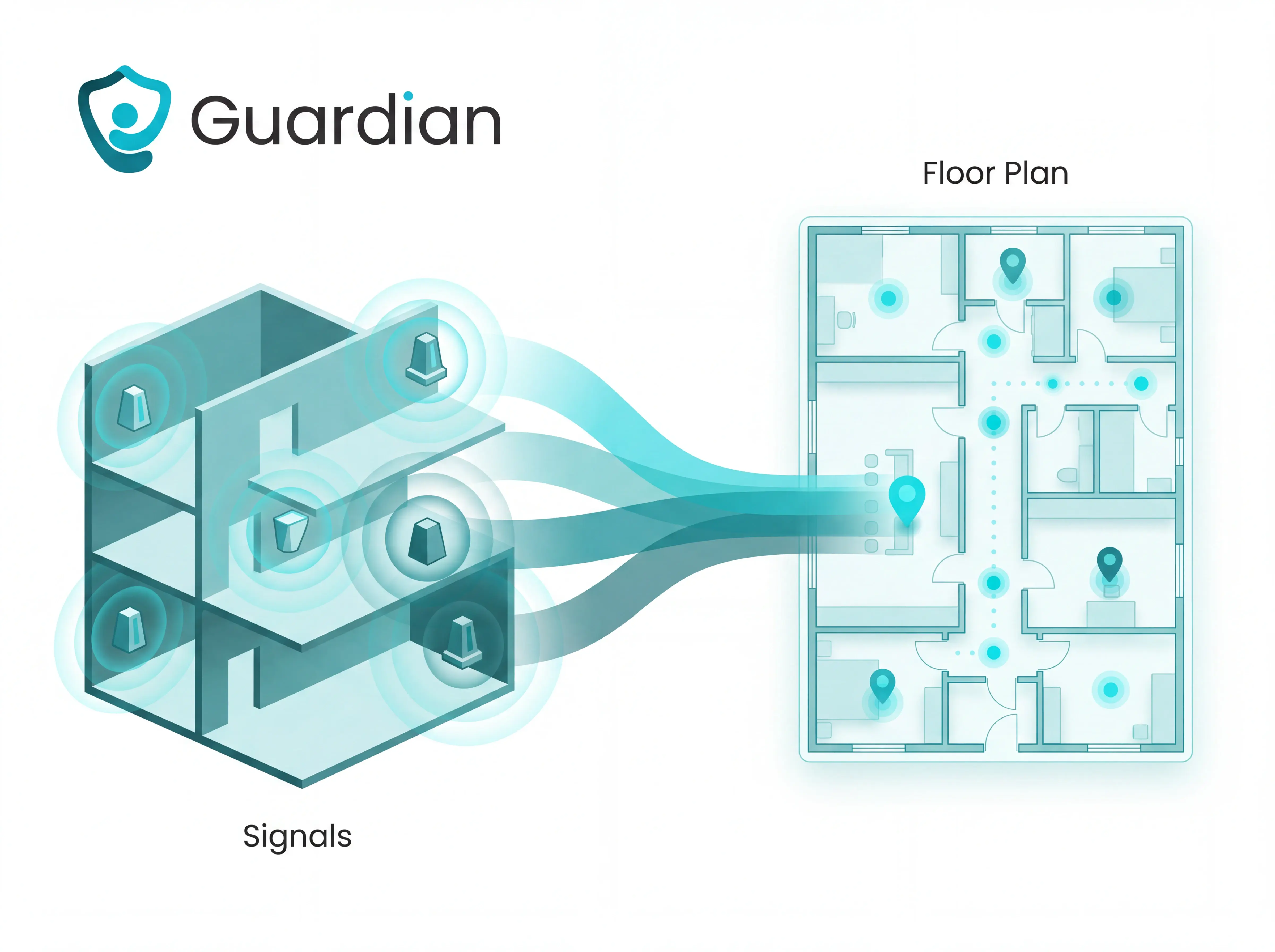
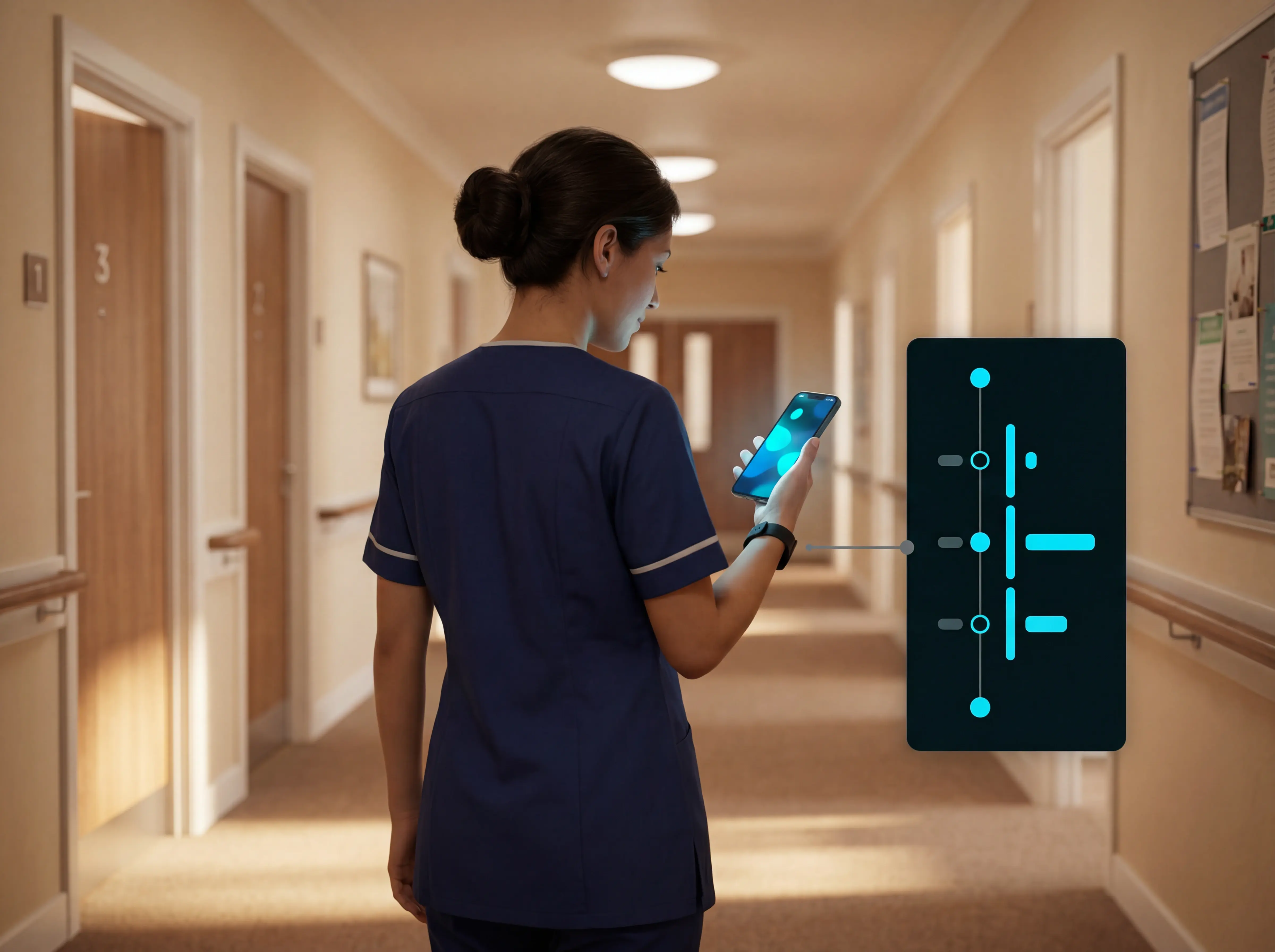
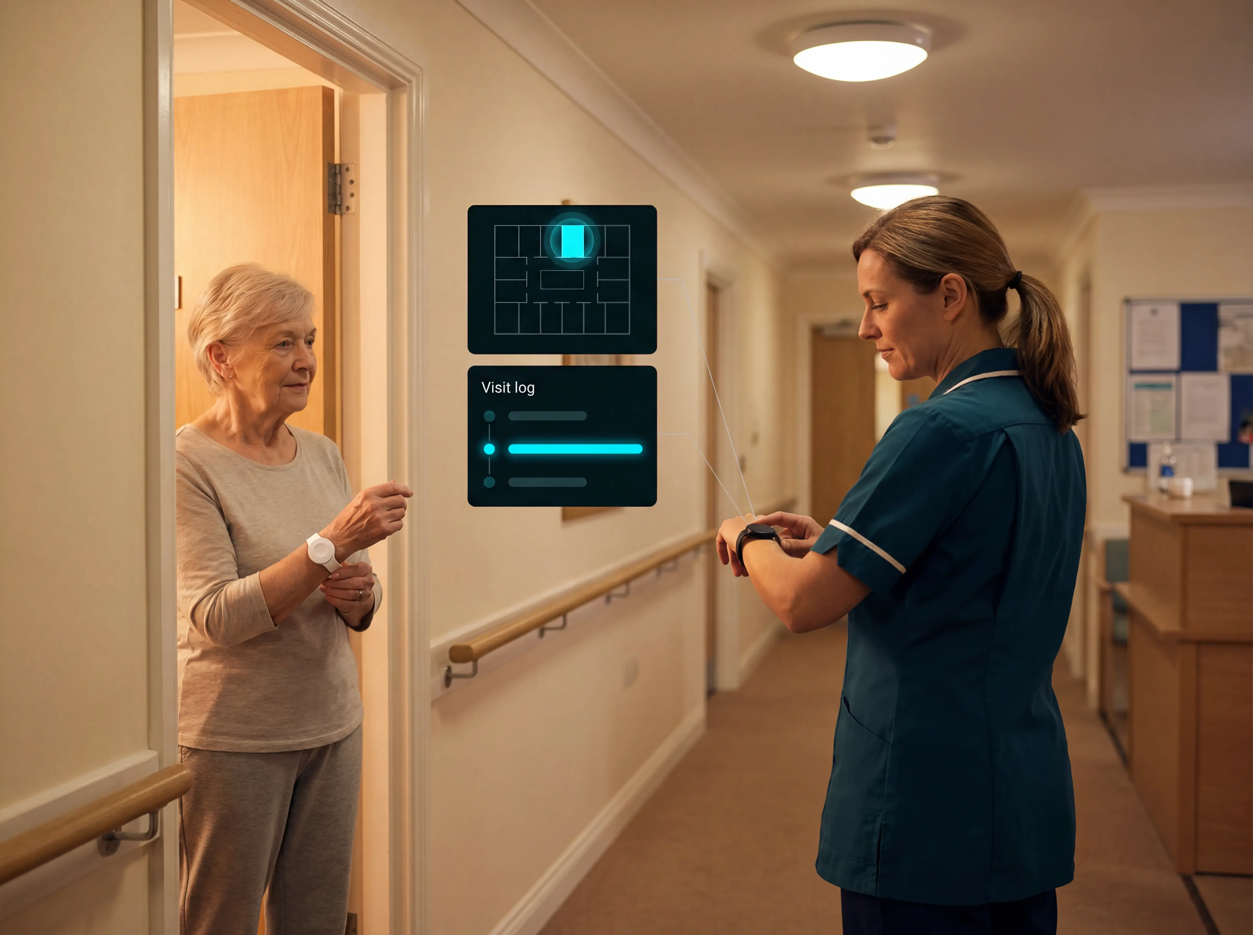
Indoor positioning fills that gap with local signals. The software puts each reading on a digital floor plan, so instead of raw coordinates, staff see people and objects on a live map.
Tags
Anchors and sensors
Location engine
Technologies compared
Five technologies, different tradeoffs
BLE
WiFi
RFID
Ultrasound
In care
Where it is used
From generic tracking to care operations
Choosing a system
How to choose the right system
Start with requirements
Match accuracy to the job
Check infrastructure and software
Planning a rollout
How to plan an implementation
Define the use case
Survey the environment
Plan infrastructure and maps
Run a pilot and validate
The software layer
What the software has to do
Detect and filter
Map context to places
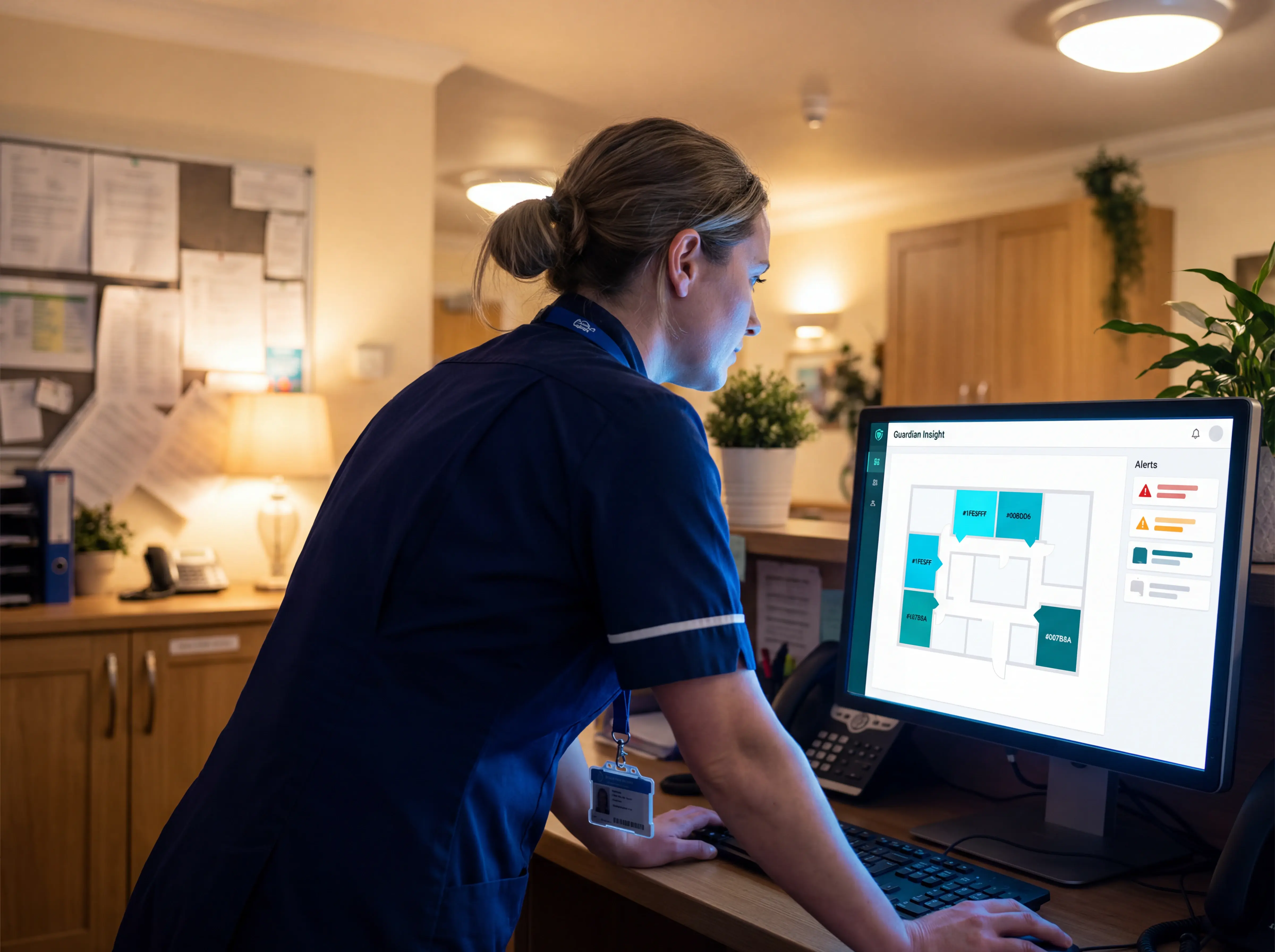
One operations view
Accuracy and reliability
What actually affects accuracy
Positioning technology
Environmental interference
Infrastructure layout
Calibration
Before you commit
What to check before you commit
Accuracy fit
Alert reliability
Workflow fit
Pilot and contract
Guardian pilot
See Guardian work in one ward
Over 6 to 8 weeks, Guardian records response times and incidents in the background. You get an impact report and use your own data to decide whether to roll out.
Room-level alerts
Automatic records
Proof before rollout
Guardian
Test Guardian in one ward or team
FAQ
Common questions about indoor positioning
Can indoor positioning work without GPS? +
GPS relies on satellite signals, and those weaken or drop out indoors. Metal, concrete, and brick block or scatter them, so GPS cannot place someone reliably inside.
Local signals replace satellites. Indoor positioning uses RFID, Bluetooth, WiFi, or ultra-wideband, with UWB reaching about 10 to 30 cm in line-of-sight conditions. A UWB setup places tags on people or objects and anchors around the building, then calculates position from the signals between them.
Do you need dedicated hardware? +
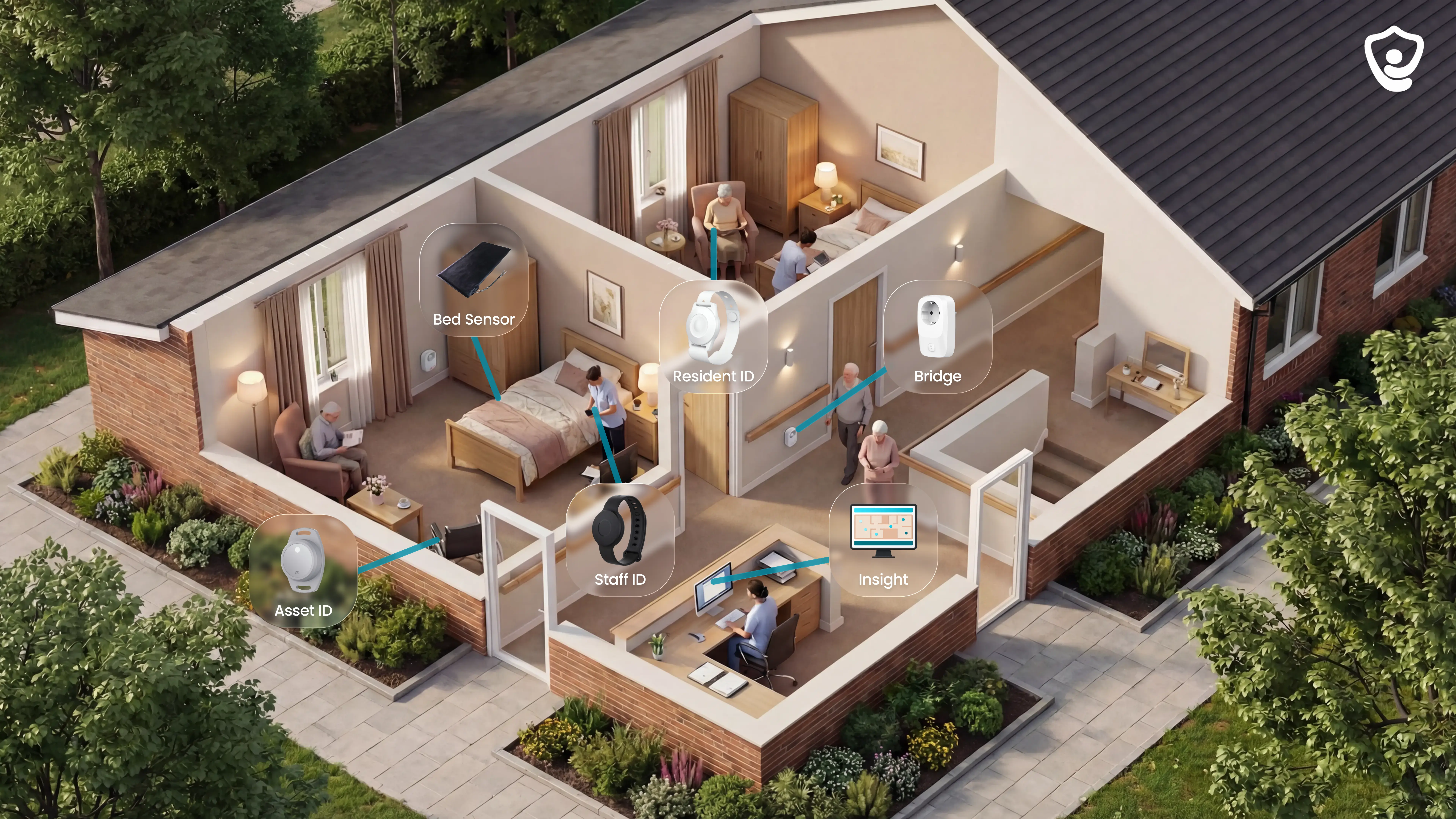
Typical hardware has two parts:
- Mobile tags worn by people or attached to assets being tracked.
- Fixed points (anchors, beacons, or sensors) placed around the building to receive tag signals.
The central system uses those signals to calculate position. A live internet connection is separate: in local IoT setups, gateways and smart devices communicate on site, so positioning can continue without an active internet link.
How accurate can indoor positioning be? +
Planning ranges:
- WiFi: 5 to 15 metres typically; room-level with RSSI fingerprinting, and under 1 metre with RTT/FTM on supported devices.
- Standard Bluetooth: about 3 to 5 metres; BLE AoA or channel sounding reaches roughly 0.5 to 1 metre in good conditions.
- Bluetooth 6.0 channel sounding: up to 10 to 30 cm in theory.
- UWB: centimetre-level, the tightest of the group.
Lab accuracy is a best case. Deployed accuracy often degrades by 20 to 50% or more in indoor-positioning research because buildings change signal behaviour. Common causes are multipath reflections from walls and metal, people blocking the signal path, moved furniture, and non-line-of-sight between tags and anchors.
High-accuracy modes need compatible hardware and line-of-sight planning: Wi-Fi RTT depends on access-point support and density; BLE AoA and channel sounding need compatible Bluetooth hardware; UWB performs best with line of sight.
Can indoor positioning work across multiple floors? +
Multi-floor positioning is used in buildings where every level can look alike, such as multi-storey car parks.
The system has to identify the floor level as well as the horizontal position. Floor-by-floor maps and location logic keep second-floor room 12 separate from third-floor room 12.
Do you need indoor maps first? +
Positioning locates a tag. Navigation adds route guidance on top, so the map requirement depends on the feature you plan to show.
- Basic tracking: no map is needed if a tag location can be shown as a zone or device reading.
- Navigation and wayfinding: a map is required for routes and directions.
- Map-based display: a map is required for a moving marker or room-level view.
For care alerts, a digitised floor plan gives room context without full navigation. During setup, each sensor is assigned to the relevant room or bed, which turns a raw alert into a clear destination like room 12, bed 2.
Author
Aleks Timm
Aleks Timm leads Guardian and builds privacy-first operations technology for care homes and home care providers. Teams get location-aware alerts they can act on, clearer situational awareness, and measured insight into how care work actually runs.
Read MoreRecommended reads
Keep reading

7 Best Monitoring Devices for Dementia Patients
Discover the 7 best monitoring devices for dementia patients, from passive sensors to GPS trackers, and choose safer care with...
Read more
9 Best Digital Care Planning Systems (Free & Paid)
9 best digital care planning systems for UK providers—compare free and paid tools for records, alerts, audits, and safer care...
Read more
9 best wireless caregiver alert systems for seniors
Discover the 9 best wireless caregiver alert systems for seniors: compare alerts, tracking, and costs to choose the right solution...
Read more